3D Laser Scanning
Monteath & Powys are 3D laser scanning specialists in Newcastle, Sydney and the Hunter Valley. Having adopted the technology from its infancy we are now industry leaders in the application and use in a variety of settings. Our strong survey background gives us a distinct advantage in producing 3D laser scanning models with great confidence in the accuracy and reliability of the data.
Services
01
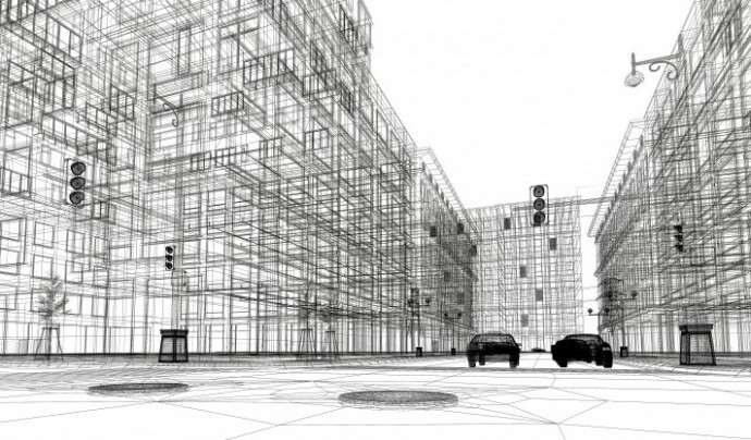
Digital Twin data acquisition
3D Digital Twin for efficient asset management and design within a virtual space. Monteath & Powys provide data acquisition, model development and maintenance to ensure an effective Digital Twin.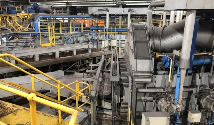
02
Industrial accuracy laser scans
Specialists in high accuracy laser scanning in complex industrial environments. Rapid data acquisition for as-builts, design or maintenance with minimal site interruption & downtime.
03
Scanning for rail and road projects
Incorporation of terrestrial and mobile laser scanning for difficult to access road and rail projects. Reduced occupation time with increased safety of personnel.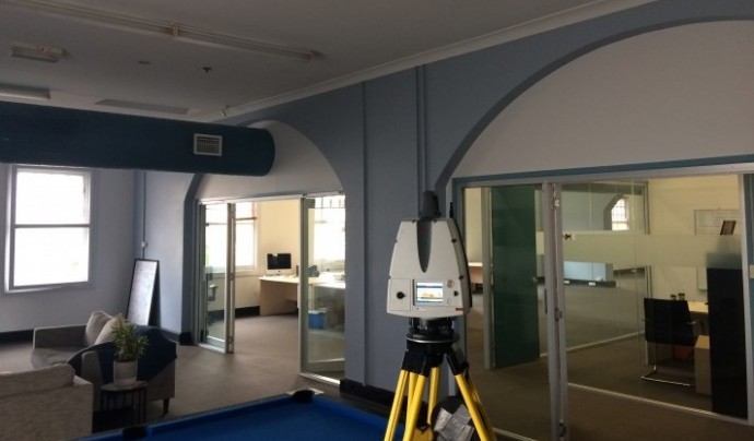
04
Building scans
Internal and external building scanning for Architectural modelling and design.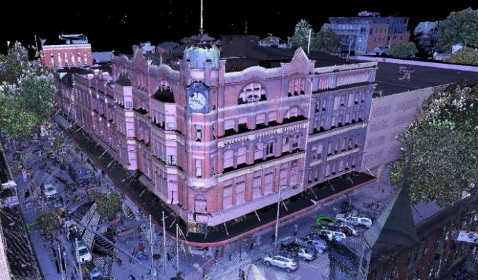
05
Heritage façade scanning
Laser Scanning & 3D modelling of heritage facades for historical reference, heritage assessment and deformation modelling.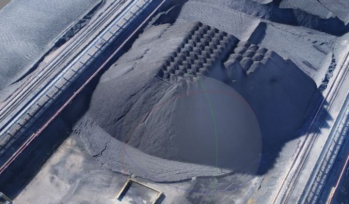
06
High accuracy 1% volumetric analysis
3D modelling of irregular stockpiles allowing for high accuracy volumetric analysis.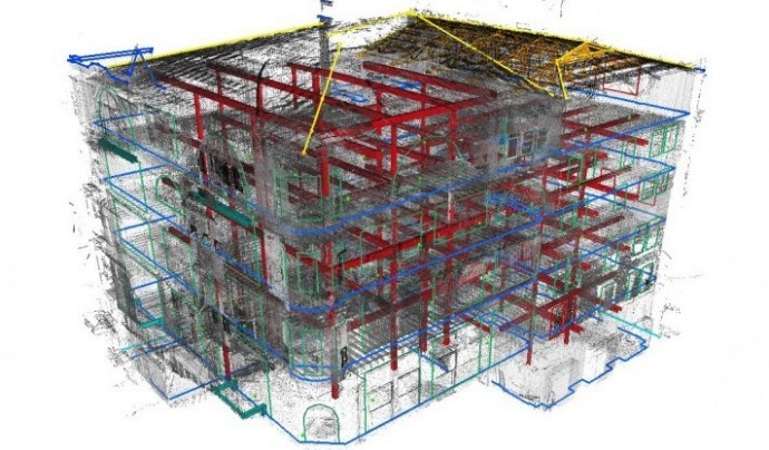
07
Points cloud and 3D modelled deliverables
Provision of data in a variety of formats including extensive 3D modelling capabilities customised to meet individual project requirements.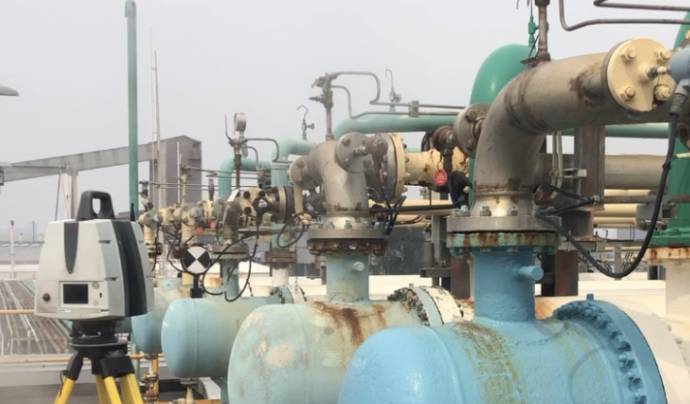
08
Non-contact surveys in complex environments
Mitigate risks & reduce design times. Specialist equipment allows measurement at extreme temperatures, within access-limited or operational plant.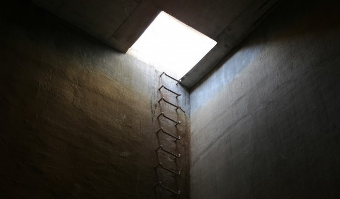
09
Inverted laser scanning
Inverted scanning system for inaccessible pits, culverts, silos and other restricted access areas.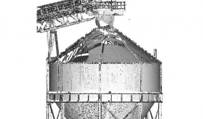
10