Hello, it looks like you are using an out of date browser. For the best experience, please consider upgrading to
Microsoft Edge,
Google Chrome, or
Firefox
Featured Projects
Project Management
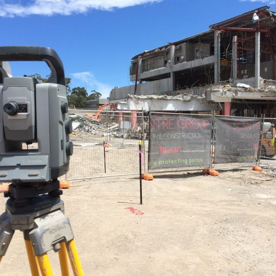
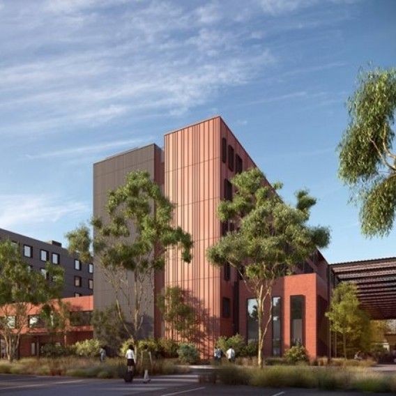
Health Education Research Building (HERB)
Added 11 Jul 2023
New teaching spaces for the University of Newcastle's School of Health Sciences efficiently delivered in a tight time-frame.
Read more
Project Management / Planning
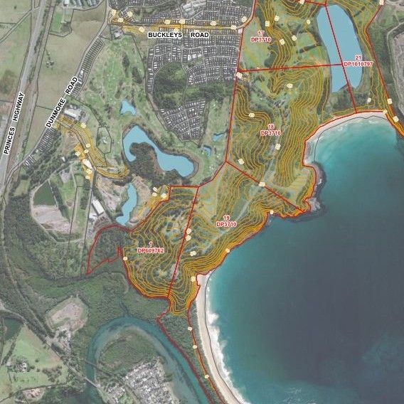
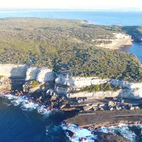
Fern Bay Seaside Estate
Added 31 Aug 2020
Creating a coastal community since inception, now a NSW State Significant Development.
Read more
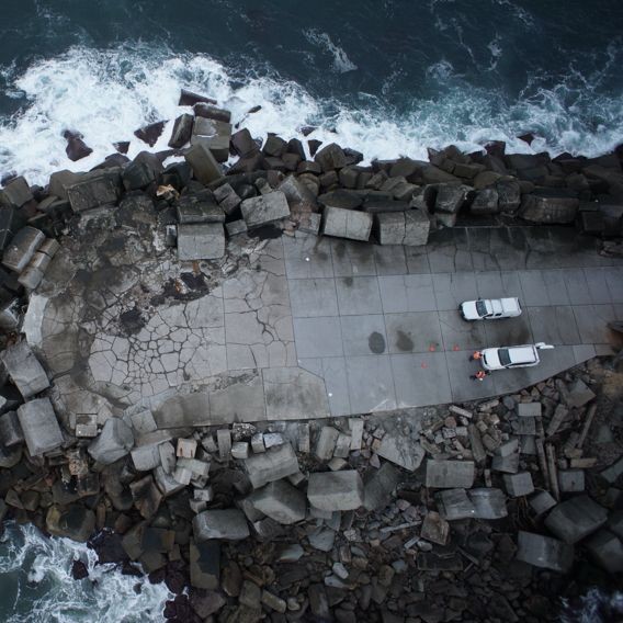
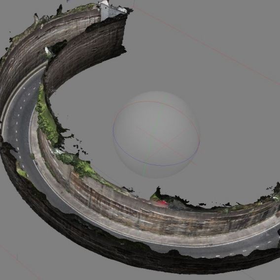
Surveying / Planning / 3D Spatial Services / Project Management
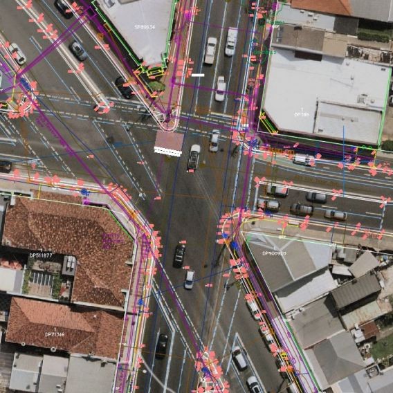
Newcastle Light Rail
Added 22 May 2020
Monteath & Powys were engaged by Downer as the survey managers for the Newcastle Light Rail Project from Newcastle Interchange to Newcastle Beach.
Read more