Also referred to as High-Definition Surveying, 3D Laser Scanning captures substantially higher resolution data than any other surveying method.
So, how does Laser Scanning work?
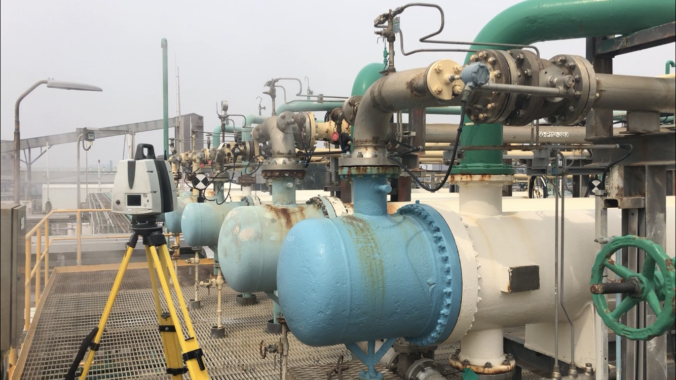
Laser Scanning uses a rotating laser beam to measure the surrounding environment. With point acquisition rates above 1 million points per second and accuracies of +/-2mm, laser scanning can capture large areas with little time onsite.
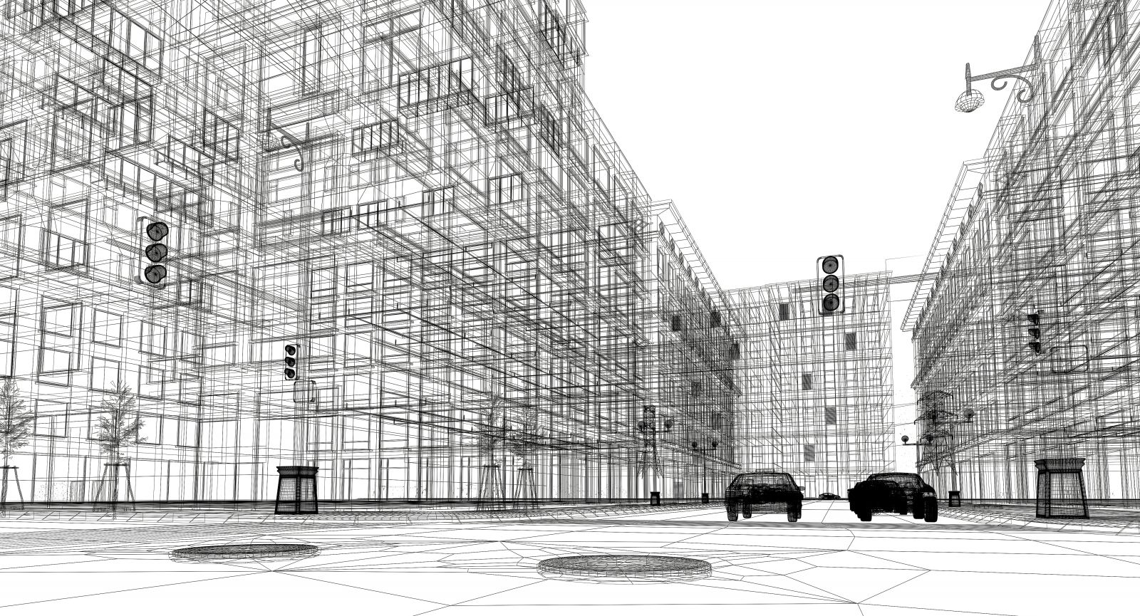
A typical laser scanning survey results in hundreds of millions of points being collected, and when aligned and combined these points form a ‘point cloud’. Due to the high density of the point cloud, it appears as a complete reconstruction of the site. The resolution or point spacing of the final point cloud is typically 5-10mm between individual points.
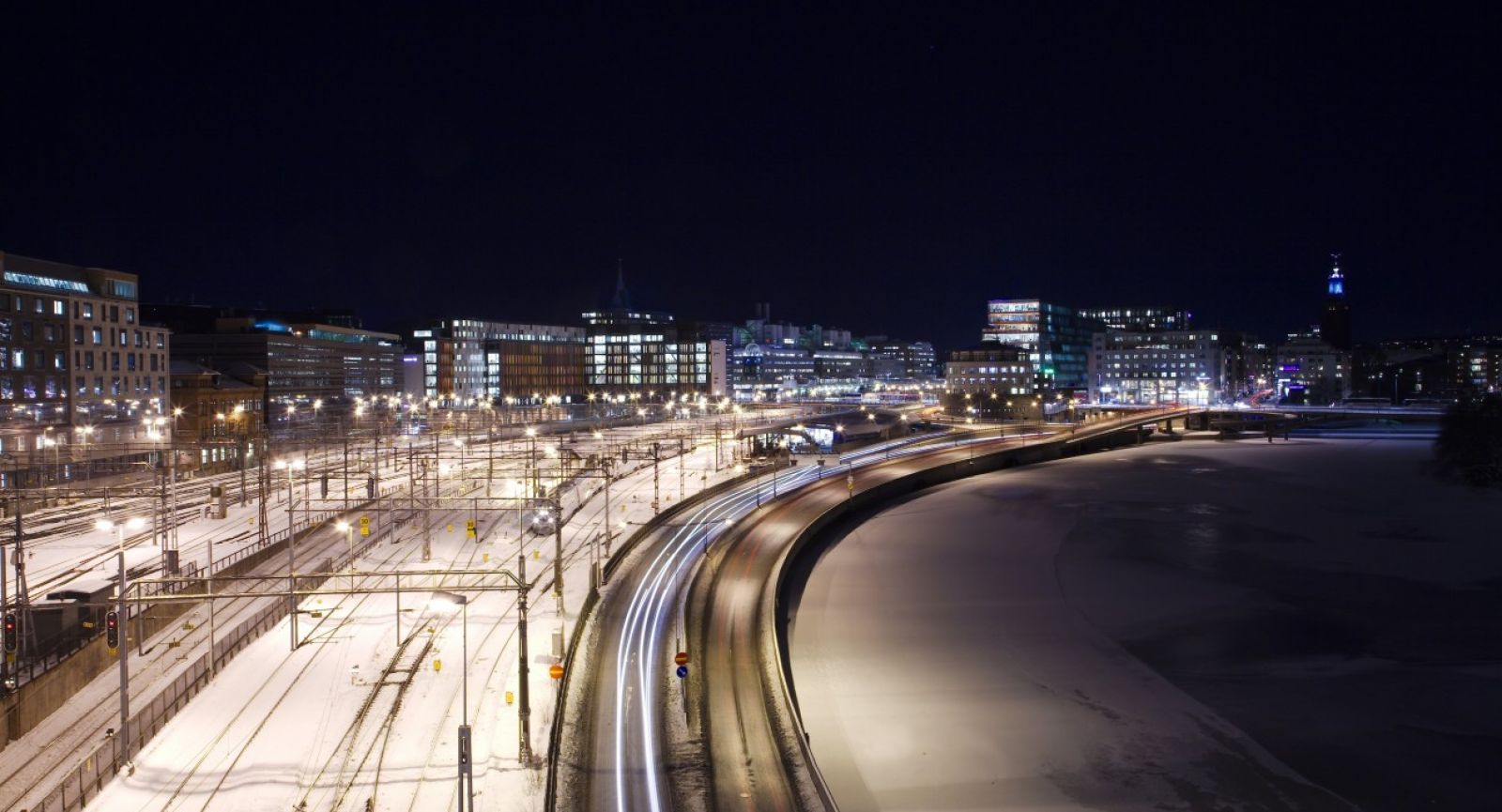
Where is Laser Scanning used?
Laser Scanning is rapidly becoming the preferred method of data capture for a wide variety of projects such as Industrial, Road & Rail, Architecture & Heritage sites, Forensics, and Construction.
Laser Scanning provides a non-contact surveying method which substantially increases safety and accessibility. This is a great advantage on Industrial sites as plant may remain operational during the survey, or road and rail projects, and the survey can be completed without the need for immediate access, greatly increasing safety and reducing interruption to the user.
What is Scan-to-BIM? 3D Scanning
Building Information Modelling (BIM) is a process which uses technology to create intelligent 3D models that allow for effective planning, design, construction, and ongoing management of modern architecture, engineering and construction projects through data driven decisions and collaborative processes.
Laser Scanning data forms the foundation of a solid BIM system. With point cloud data acting as a single point of truth for detailed 3D models, construction As-Builts, service coordination, visualisation, community engagement and future maintenance planning.
What is 3D Reality Capture?
Reality Capture is the process of using real world data from multiple sources including Laser Scanning, Lidar (aerial laser scanning) and Aerial Imagery to create photorealistic models of the built and natural worlds.
These high-fidelity models can be used for town planning, community engagement, design analysis, flood modelling and much more, extending to game development and simulation.