As one of the first firms in NSW to adopt 3D laser scanning, Monteath & Powys have developed a specialised 3D spatial team with expert knowledge and experience tailored to asset capture and management across a range of sectors on projects of all sizes.
From Newcastle, our team utilises advanced technology and extensive experience to provide rapid, contactless data acquisition with precise spatial accuracy. We draw upon our survey background to deliver 3D models with confidence in their reliability and accuracy.
Our expertise in delivering tailored solutions for efficient asset capture and management helps our clients make informed decisions and optimise resource & capital allocation for strategic asset management. We leverage internal and external building scans, 3D modelling, and building information modelling tailored to individual project requirements to generate a comprehensive hierarchical list of assets and components for use in asset management systems.
We’re leaders in enterprise spatial digital transformation. Through the integration and automation of asset and spatial database management systems, we facilitate rich visualisations that empower organisations to make strategic decisions with confidence.
Monteath & Powys are dedicated to transforming asset capture and management through tailored solutions to meet the unique needs of each project. Leveraging existing asset, maintenance, and capital project data, our solutions drive efficiency, ensure integrity, and achieve accuracy for asset utilisation and maintenance.
3D Deliverables
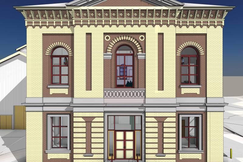
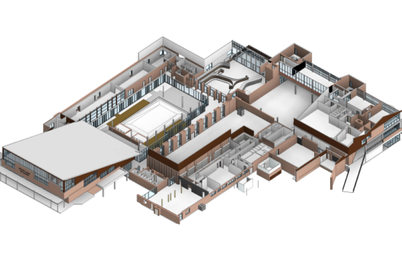
We employ the scan to BIM process to create detailed 3D models with a high degree of accuracy.
Our 3D laser scanners use LiDAR & 360° imaging technology to capture everything visible at survey accuracy to create a point cloud. By using contactless rapid capture laser scanning technology, we reduce time on site, minimising disruptions to operations, and enabling stakeholders to complete virtual site inspections remotely.
From the point cloud, our technicians can derive a range of outputs. This includes traditional detail survey models, building information models, defect models, and component lists.
Building information models serve as digital representations of structures and their components. These models enable the componentisation of assets through various methods, such as COBie, and support productive asset lifecycle management. The true value of BIM lies in its capacity to offer a comprehensive overview of asset infrastructure, empowering stakeholders to create and implement efficient strategies for asset management planning.
Our models are produced to align with industry-standard data formats to allow seamless integration across business units, with the ability for architectural, compliance and space management teams to leverage one common database without the need to return to site or recapture information.
We focus on using industry-leading software solutions to guarantee the quality of our products. Our technicians have expertise in applying a broad range of software, ensuring our products are interoperable and can be used with confidence by architects, engineers, and asset managers.
We’ve developed a specialised methodology for extracting as-built data in CAD and BIM software to maintain the high level of accuracy achieved at the initial point of capture.
With a highly accurate point cloud, you have flexibility to create BIMs at a lower Level of Detail (LOD) initially, but also revisit and generate higher LOD models in future.
Point clouds are a valuable asset for ongoing projects or future site analysis allowing for data extraction at various LODs as the project progressed through design.

Walka Point Cloud - 84 colour scans
Walka Building Information Model (BIM)

Shortland Point Cloud - 496 scans
Shortland Building Information Model (BIM)