Client Information
Land Surveying
3D Laser Scanning
Spatial Data
Service Location
Underground Service Model
Cadastral Surveying
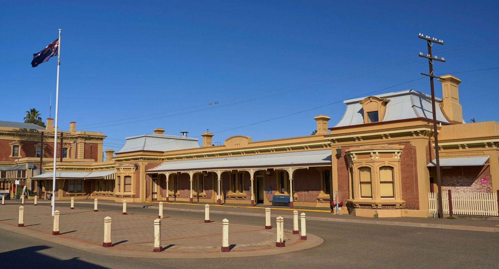
The Transport for NSW - Transport Access Program is an initiative to provide a better experience for public transport customers by delivering accessible, modern, secure and integrated transport infrastructure.
The program will provide stations that are accessible to people with a disability, limited mobility and parents with prams. Modern buildings and facilities for all modes that meet the needs of a growing population and modern interchanges that support an integrated network and allow seamless transfers between all modes for all customers.
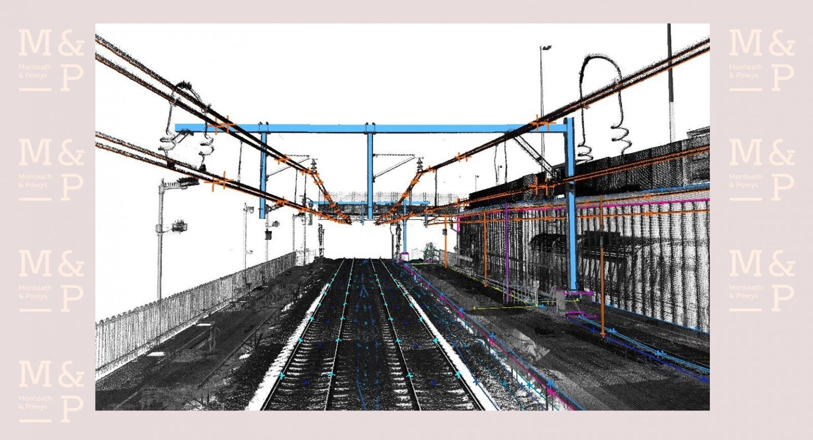
Monteath & Powys have been engaged to complete 3D modelling, surveying and underground service location on many of the stations throughout New South Wales to enable design of these upgrades. With features located throughout the sites, we needed to minimise our time on site whilst ensuring the entire station and surrounds were captured.
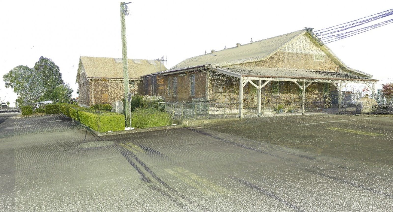
The works were carried out on site by 3D laser scanning which enabled us to capture most stations within two days on site. This diminished disruption to users and minimised costs of having personnel travelling for extended periods of time. The resulting 3D model also enabled our clients to work in a digital twin which reduced the requirement for subsequent site inspections.
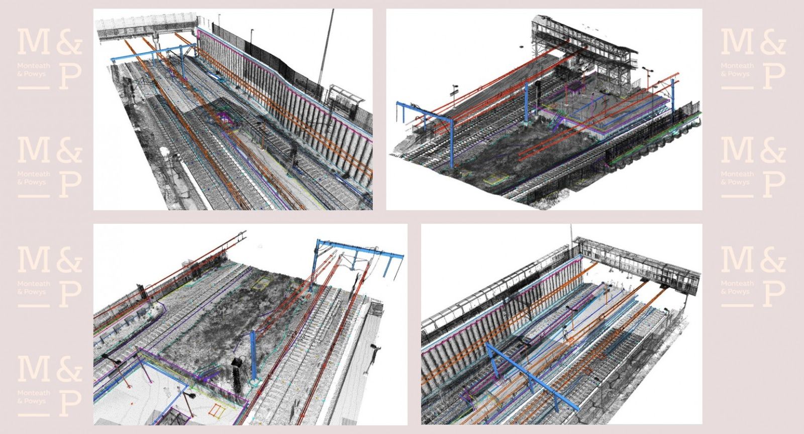
Once the 3D model is created, additional processing is completed to model the stations in 3D either by solid shapes, or strings to produce a traditional survey output. All data remains on MGA coordinates and AHD levels.
In addition to the 3D model creation, Monteath & Powys were also required to complete a full title search of each station with a cadastral boundary overlay. Underground services were traced electronically with all data fitting seamlessly with the overall model.
In addition to these works we were also able to produce a ‘Google Street view’ type product which our client can provide to contractors during the tendering stage. This also reduces the requirements for travel and reduces the risk of variations in construction costs.